Summary
Shortly after the first-known scientific expedition to Cerro Pata de Pájaro, the world-renowned biologists who authored the report died in a plane crash in the mountains of coastal Ecuador. It was a tragic beginning to a conservation legacy that TMA is working to continue and dramatically scale up, hand-in-hand with our local partner organization Fundación Ecológica Tercer Mundo (FETMU). At stake is the 4,333-hectare (10,707-acre) forest of Cerro Pata de Pájaro.
It includes roughly 1,000 acres of old-growth cloud forest—arguably the most pristine remnant of Pacific Forest left in Ecuador. Yet the rest of it has suffered substantial deforestation during the decades before and after it was declared a forest preserve. Much work still needs to be done to protect the remaining forest and restore what has already been cleared.
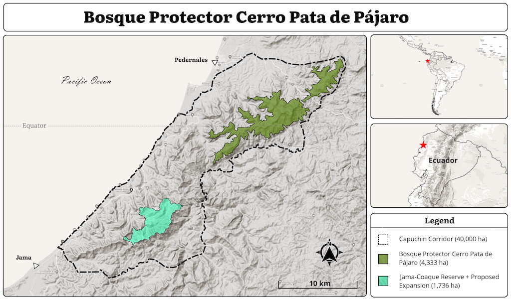
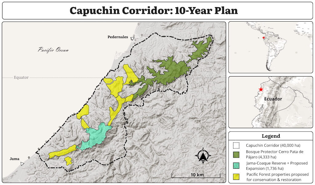
Connecting Cerro Pata de Pajaro to the Jama-Coaque Reserve will be the core challenge of the Capuchin Corridor, spanning a 43-km stretch of Ecuador’s coastal mountain range.
Contents
- In Homage to Our Predecessors
- The 1990s in Coastal Ecuador
- The Historic 1992 Expedition
- Primary-Growth Pacific Forest
- Local Residents Taking Action
- An Ambitious Legal Strategy
- The Plane Crash
- Eating Away at the Forest
- Meeting Rosario Castillo and Carlos Robles
- Another Tragedy
- The Dream of the Capuchin Corridor
- Luis Madrid and the Birth of FETMU
- The Marriage of TMA and FETMU
- Where It Stands Today
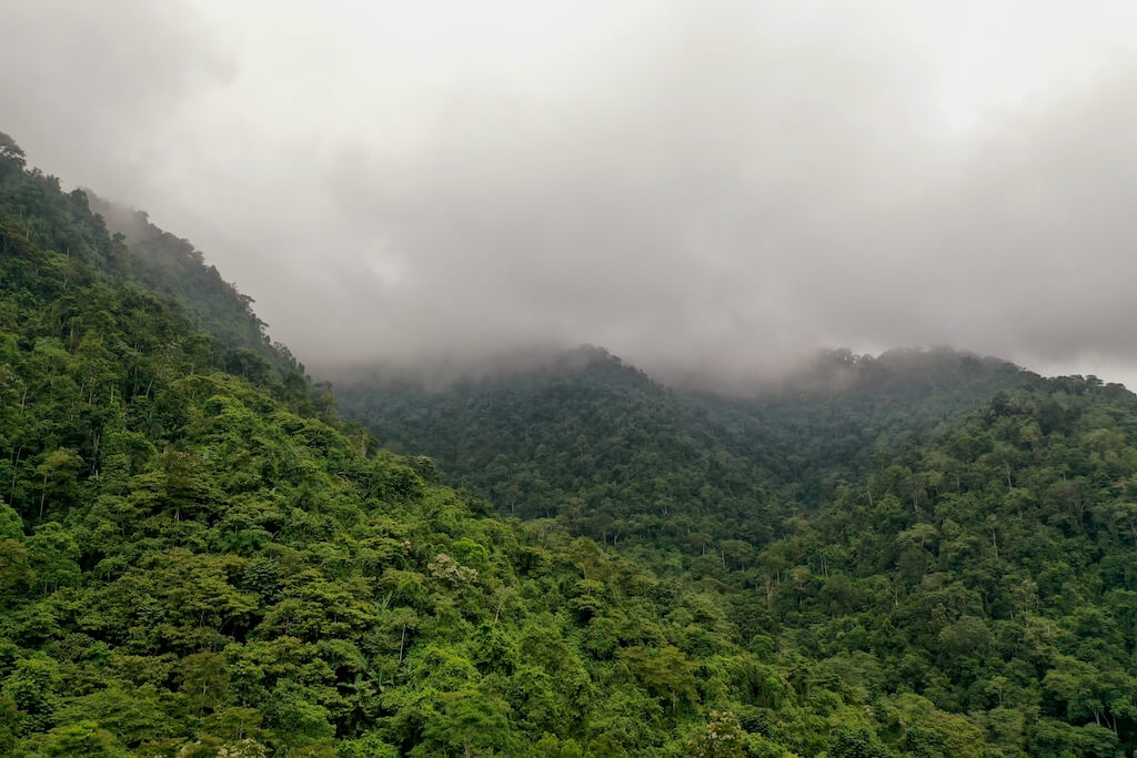
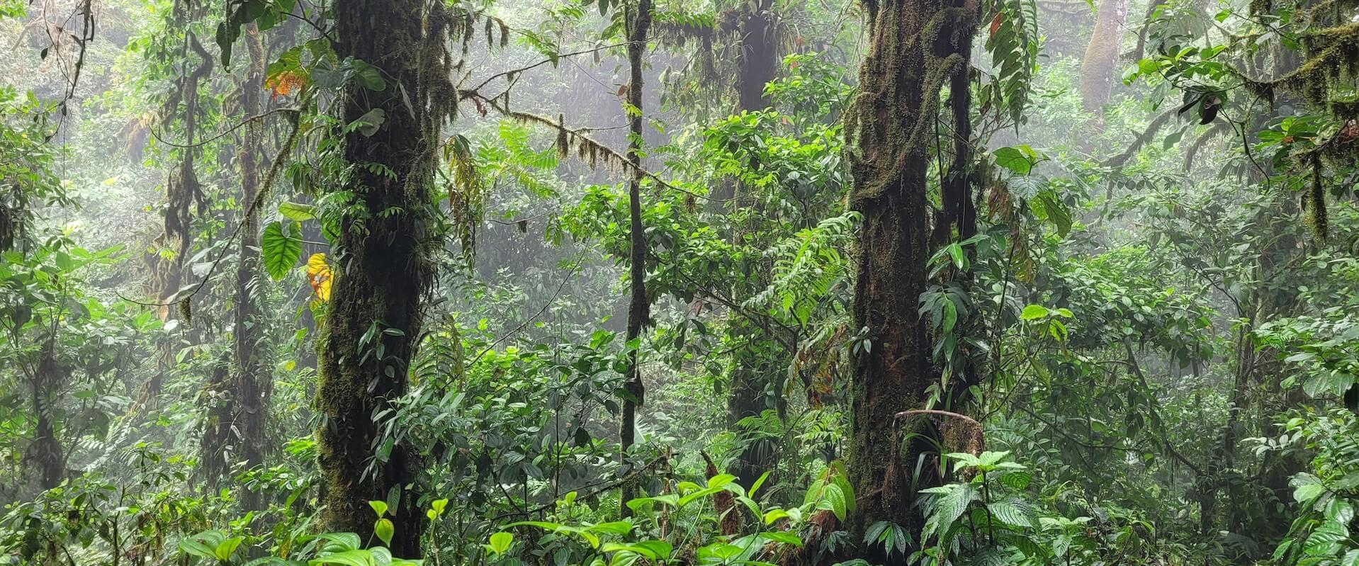
The perpetual cloud layer cloaking the peaks of Cerro Pata de Pájaro
In Homage to Our Predecessors
Among conservationists working in coastal Ecuador, the ground-breaking work completed in the 1990s is considered legendary. The fact that these pioneering studies occurred less than thirty years ago attests to how neglected this region once was. Since then, it has been declared the core area of a global biodiversity hotspot.
This timely shift in scientific attention is primarily due to the work conducted by a small cadre of world-renowned biologists in the 1990s—namely Ted Parker, Alwyn Gentry, Calaway Dodson, John Carr, David Neill, and John Clark. Likewise, conservation organizations like The Nature Conservancy, Conservation International, EcoCiencia, and Fundación Natura were the first institutions to fund and support these studies. Those are the shoulders on which our work, at TMA, is able to stand.
The 1990s in Coastal Ecuador
The 1990s was the last decade of a century during which the vast majority of the Pacific Forest of Ecuador was lost to agricultural expansion and cattle pasture. In a country in which deforestation has touched all parts, the western coast of Ecuador has undoubtedly suffered the most.
The wave of human colonization and agricultural expansion that occurred in the eastern US in the 1700s, and the western US in the 1800s, occurred in coastal Ecuador in the 1900s. Owing to its tropical climate, rich volcanic soils, and access to ocean-faring ports, the coastal lowlands quickly became the breadbasket of Ecuador and the source of its primary exports. By the end of the century, approximately 98% of the region’s original forest had been degraded or deforested.
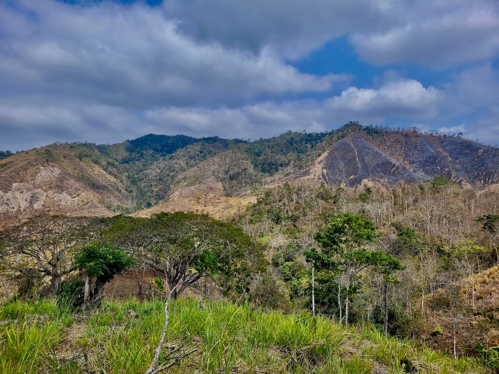
Deforested hillsides on the southern flank of the Bosque Protector
Calaway Dodson and Alwyn Gentry’s seminal report from 1991, “Biological Extinction in Western Ecuador,” provides details on how that process unfolded. It also sounded an alarm bell across the global conservation community. In response, Conservation International spearheaded a series of expeditions, under the auspices of their “Rapid Assessment Program” (RAP), to evaluate the extent of and threats to biodiversity throughout the region. The result was a report titled “Status of Forest Remnants in the Cordillera de la Costa and Adjacent Areas,” published in 1992.
One of the little-known sites surveyed in this report was an old-growth forest at the top of one of the highest peaks of the Ecuadorian coastal mountain range, looming over a bustling, somewhat ragtag town. The name of that peak is Cerro Pata de Pájaro—often simply called Pata de Pájaro (PDP).
It was the first-known biological survey of the area. Indeed, it was the first time PDP was even mentioned in academic literature. The result of this report was the creation of a protected area covering 4,333 hectares (10,707 acres)…at least, on paper.
Reality tells a more nuanced story.
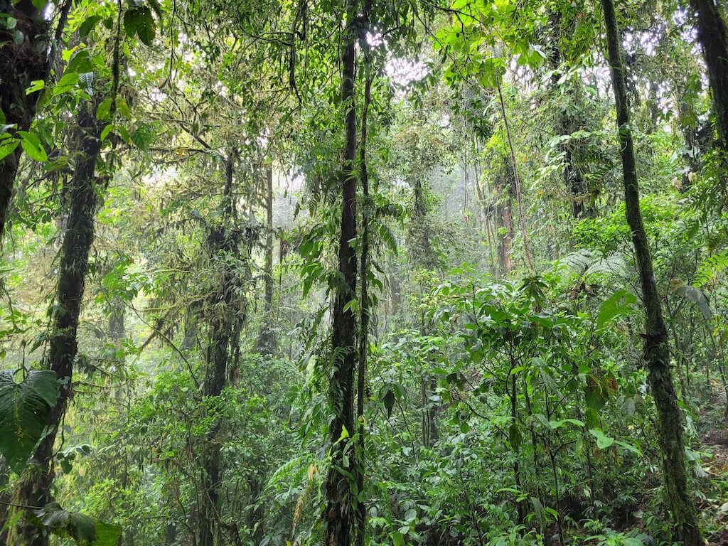
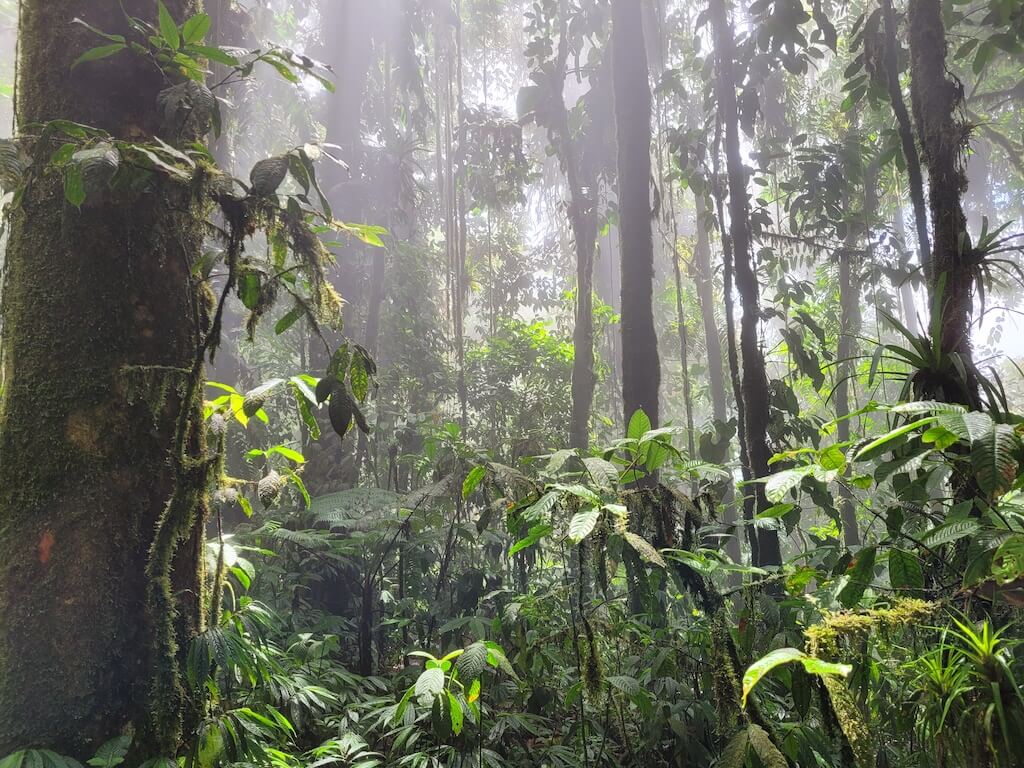
The lush, stratified cloud forest in Cerro Pata de Pájaro
The Historic 1992 Expedition
The Rapid Assessment expeditions of 1991 and 1992 were led by Ted Parker, widely considered “the finest field birder / ornithologist that the world had ever seen,” in addition to the great botanist Alwyn Gentry and the herpetologist John L. Carr, among others.
Of all the entries in the report, the most intriguing description was that of PDP. It begins, unassumingly enough: “The small (nearly 800 masl) but conspicuous mountain of Cerro Pata de Pájaro stands by itself not far from the coast near the equator…just east of Pedernales (00°02′ N, 79°58′ W). It is apparently the highest mountain of the northern coastal range between Portoviejo and Esmeraldas.”
For the sake of comparison, the peaks of PDP are 20% taller than even the highest peaks of the Jama-Coaque Reserve. As you may recall from our previous article that describes the Pacific Forest of Ecuador, a high elevation forest in close proximity to the Pacific Ocean, in the neighborhood of the equator, means one thing: cloud forest.
Says the RAP: “Cerro Pato de Pájaro is enveloped in clouds most of the year, even through the dry season… This results in a ‘cloud forest’ 20-30 m tall at higher elevations, heavily laden with moss, epiphytes, and hemiepiphytes.”
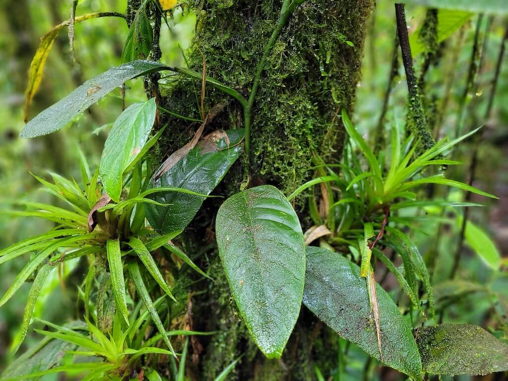
Even though they’re only 20 km apart, the cloud forest of PDP is different than the cloud forest of the Jama-Coaque Reserve in several notable ways. In addition to reaching a higher elevation, PDP is one step further northward into the sphere of influence of the El Niño ocean current—which places it more squarely in the domain of the Chocó wet forest. Furthermore, the peaks of PDP had never been logged.
As the report continues, Robin B. Foster, the lead plant ecologist who authored the botanical portion of the report, hits us with this tantalizing passage: “The cloud forest flora does not show any particular affinities to one region. Rather, it has a mixture of species known from the fog forests of the Chongón-Colonche mountains to the south, the wet forests of the Muisne mountains farther north, the low cloud forests of the western Andes, and a number of species we have not yet noted anywhere else (Appendix 15).”
Parker, Foster, and crew were especially struck by the predominance of one towering tree species in particular—Carapa guianensis, locally known as tangaré. “It is extraordinary to see such a large population of large trees of this valuable species, probably the largest—if not the only—stand remaining in the Cordillera de la Costa. At each site we visited in this mountain range, even if the rest of the forest remained intact, the mature trees of Carapa have been removed by axe or chain saw… The same is true on the wet western slopes of the Andes from Pichincha to Azuay and in the hills of the Río Santiago-Cayapas area of Esmeraldas.”
They went on to note various other endemic and extraordinary plants. “An unusual new species of Bauhinia with large, bright red flowers coming out of the trunk, was found in a small, monospecific grove on the ridge here, and nowhere else. Other species of Bauhinia with these characteristics are known only from Africa (R. Fortunato, pers. comm.). A one-hectare clearing made within the next few years would wipe out the known population. Further investigation of the flora on these slopes is urgently needed.”
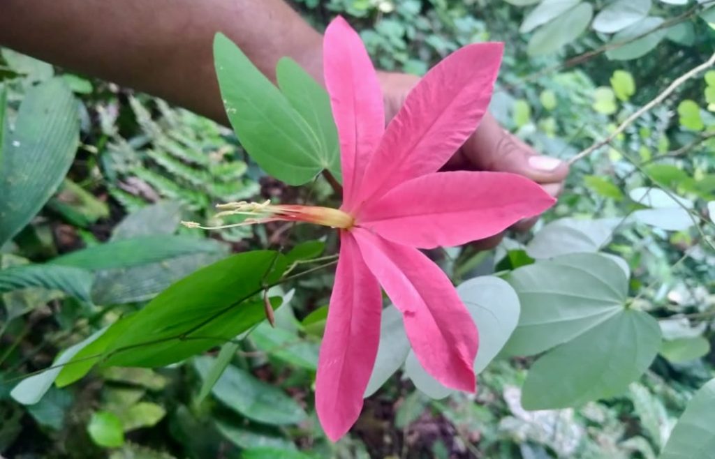
A bauhinia flower in the hands of Carlos Robles (2022)
Primary-Growth Pacific Forest
From the perspective of any conservationist familiar with the Pacific Forest of Ecuador, the most exciting revelation from the RAP was the fact that the forest on the mountaintop had never been logged. Even thirty years ago, this was unheard of in coastal Ecuador.
As a point of reference, the Jama-Coaque Reserve has substantial swaths of tall, majestic forest with minimal evidence of selective logging in the past—a class of forest that we call “mature forest.” But PDP, according to this description, was still endowed with its primeval structure.
Previously, the term “primary-growth forest” was used to describe a forest that has never been logged, let alone cleared. In recent years, “old-growth forest” has become regarded as the more appropriate term. In the RAP, they explicitly describe it: “Except for the tiny clearing on the eastern peak and an old boundary line cut on the western ridge, there is no indication of any tree-cutting in the cloud forest that covers the top of the mountain.” This was further corroborated by the presence of undisturbed stands of giant tangaré trees in the cloud forest.
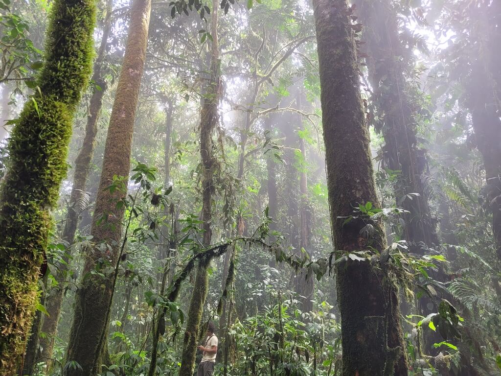
The logical next question is: how could this be? Why would a mountaintop forest, close to a relatively large population center, be spared the fate suffered throughout the rest of coastal Ecuador?
The answer is found in a topographical anomaly. Whereas the mountaintop itself is relatively flat—a plateau, if you will—the slopes that lead up to it, on all sides, are forbiddingly steep. As explained in the RAP: “The last third of the climb from 550 m to 750 m is very steep and slippery, prohibitive to mules and requiring the use of all four human limbs.”
The only way to haul logs out of a steep forest is with mules. And if the ascent is too steep for mules, there is no logging. That’s what saved the cloud forest from timber extraction. Unfortunately, this doesn’t prevent the clearing of a forest for purposes of agriculture or cattle…
In any event, the mere suggestion of an unlogged old-growth forest in TMA’s extended area of operations was, to say the least, thrilling. Eventually seeing it with my own eyes, nearly twenty years later, was even more thrilling.
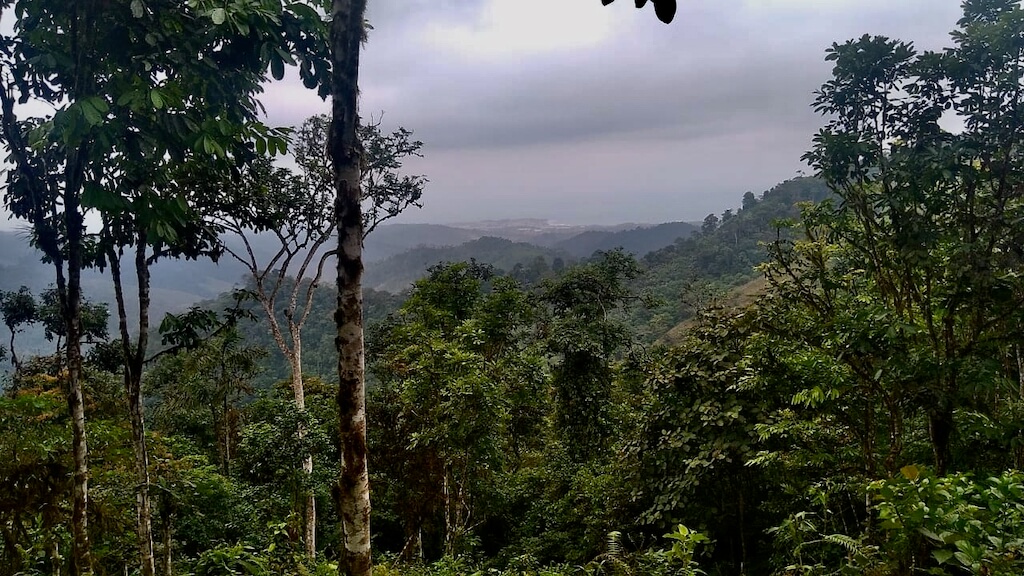
From the from the lowland forest of PDP, with the shores of the Pacific Ocean in the distance (photo by Carlos Robles)
Local Residents Taking Action
One of the key passages in the RAP spoke to the encroaching deforestation surrounding PDP and the apparent apathy of nearby communities, particularly of Pedernales—a large town of 75,000 people immediately downriver of PDP. “This isolated mountaintop wet forest of ca. 800 ha is said (by local people) to be protected, but is obviously being cleared continuously around the entire lower periphery. The watershed importance of this forest to surrounding communities, especially to Pedernales, is obvious to us, but apparently not well understood by local residents.”
This statement, however, is not entirely true. There were a handful of local Pedernales residents that clearly did understand PDP’s importance, both as a reservoir of biodiversity and a factory of fresh water, among other benefits. They were led by Luis Madrid, a local bird enthusiast who recently graduated from high school, and Rosario Castillo, a woman who ran a local hardware store, along with a handful of others. It was a humble collection of local conservationists with no institutional backing or funding source. Their only asset was passion and commitment.
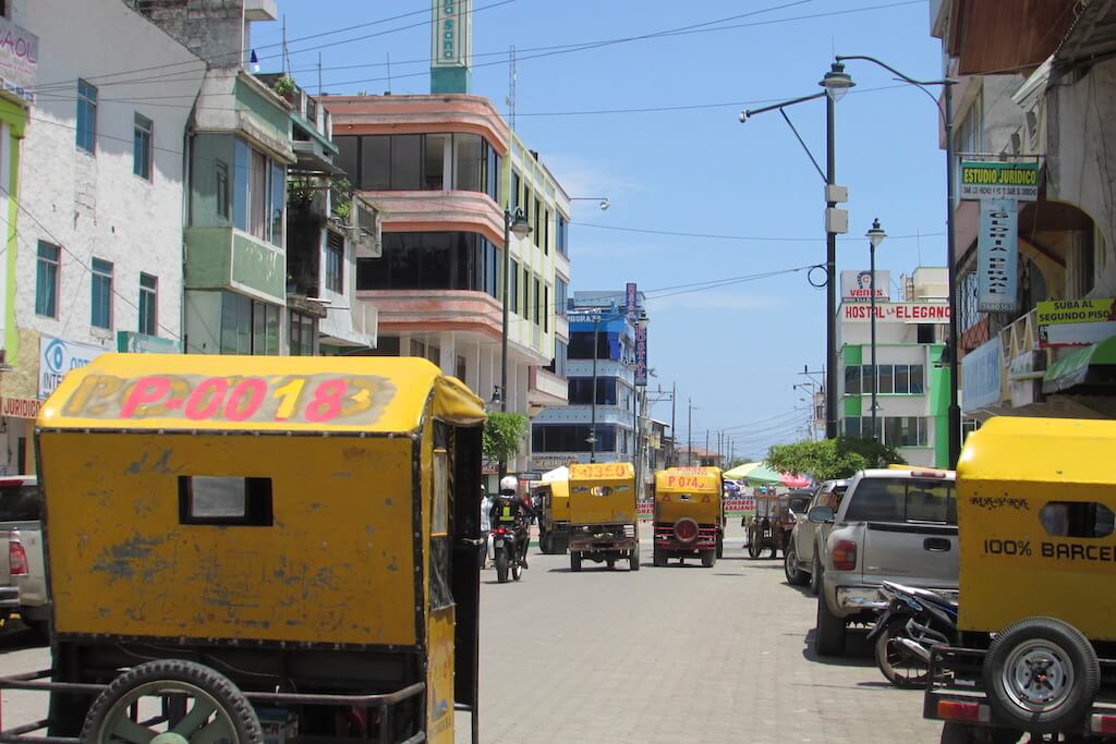
The bustling town of Pedernales, pre-earthquake (photo by Victoria Nicodemus, 2015)
One year after the publication of the RAP, this team of local conservationists created a nonprofit organization under the name Fundación Ecológica Tercer Mundo (FETMU). It took three years to legally constitute the organization—a process that was completed in 1995. Impressively, that same year they succeeded in registering the PDP mountaintop and a vast swath of surrounding land as a forest preserve. The official name was “Bosque Protector Cerro Pata de Pájaro,” with FETMU granted the responsibility of managing it.
“Bosque Protector” was a legal designation for private forest preserves that are formally recognized by the Ecuadorian government as such. The government, however, was not under any real obligation to help fund or manage it—leaving FETMU to fend for itself. As a local organization with limited access to international funding sources, this was a problem.
To make matters even more complicated, much of the land included in the Bosque Protector declaration was already—at the time of declaration—being actively farmed by people who didn’t own legal title to the land but did (and still do) have possession rights.
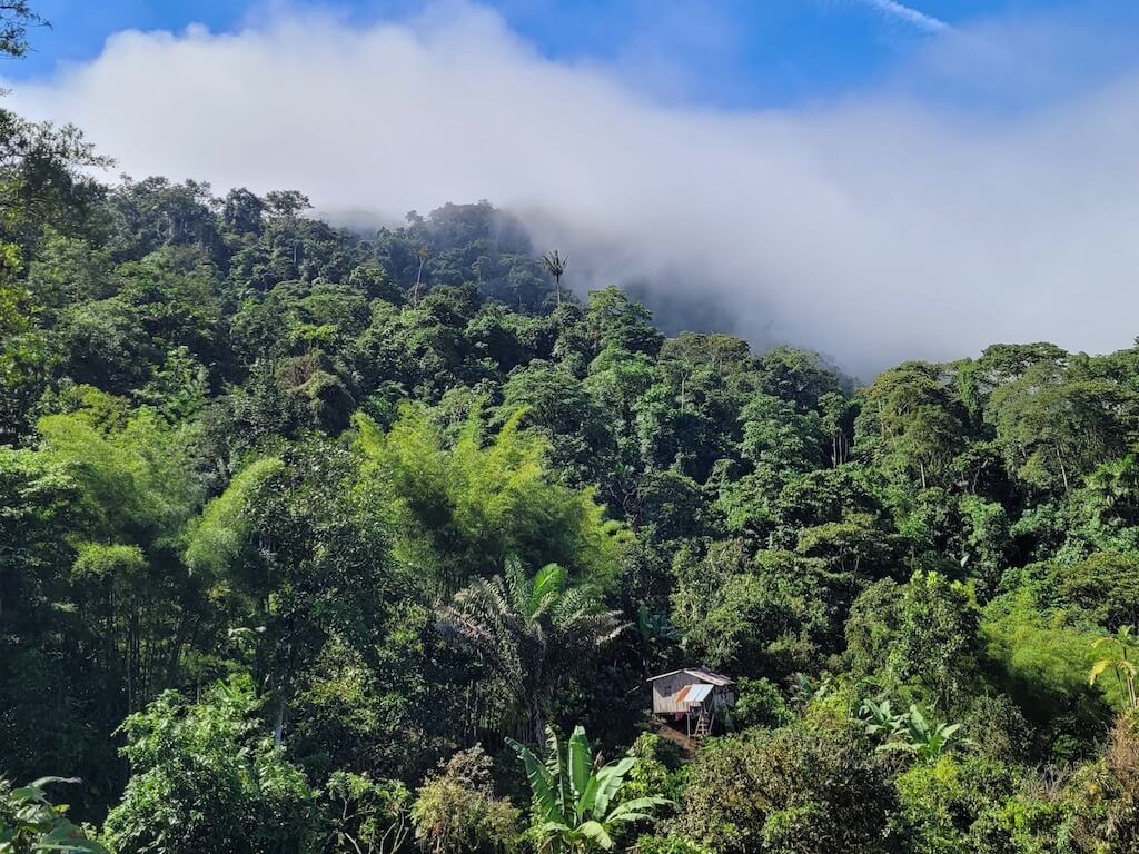
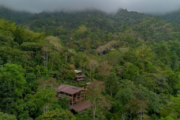
A homestead on the flanks of Cerro Pata de Pájaro
An Ambitious Legal Strategy
Here’s how the authors of the RAP described the extent of the intact forest in PDP in 1992: “We did see or pass through several large patches of forest on the upper mountain flanks…. They represent a sizeable area of wet forest around the mountaintop. By combining these wet forests with the approximately 2 km2 of cloud forest, the total area for a reserve of intact forest could be as much as 8 km2.” This equates to 800 hectares (nearly 2,000 acres).
That may not sound like a large area, but for an old-growth forest in coastal Ecuador, it’s massive.
Luis Madrid, who was only 23 years old when FETMU was founded, agreed with this assessment. He explained to me that, from the beginning, FETMU’s most urgent goal was to protect the 800 hectares (nearly 2,000 acres) of primary-growth forest on the mountaintop. But they were keenly aware that if the surrounding forest was lost, the forest at the top of the mountain would not be viable as wildlife habitat nor as an ecosystem capable of sustaining its moisture and water cycle, and the system would collapse.
The authors of the RAP were clearly worried about this. They wrote, “It may be just a matter of time before the colonists on the lower slopes work their way up. On the side of Atahualpa, the clearings already extend up to 600-650 m along the trail, only a few hundred meters distance from the ridge crest at that point.”
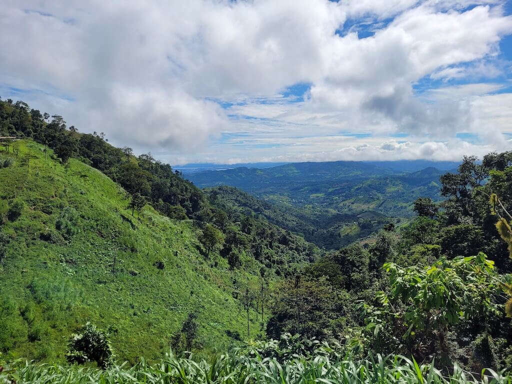
Cattle pasture inside the Bosque Protector and creeping up into the cloud forest at the mountaintop
It should also be noted that the forest of PDP generates 100% of the freshwater supply to all 75,000 residents of Pedernales and surrounding communities. Losing this forest would be a social and economic catastrophe for the region, let alone an ecological one.
To forestall this scenario, FETMU pushed to register as much land as they could as part of the Bosque Protector—even land that was already being farmed. Protecting a larger area would also increase the likelihood that the application for Bosque Protector would be approved by the government and respected by the country’s National System of Protected Areas (SNAP, in Spanish). They effectively drew a map that included all mountainous land starting from an elevation line of about 325 meters above sea level (1,066 feet) up to the peak at 840 meters (2,700 feet). This demarcation covered an area of 4,333 hectares (10,707 acres).
Again, this was a theoretical designation. The Bosque Protector declaration didn’t guarantee that the forest would be protected in practice. And despite the best efforts of FETMU, deforestation continued.
As this all unfolded, tragedy struck. Twice.
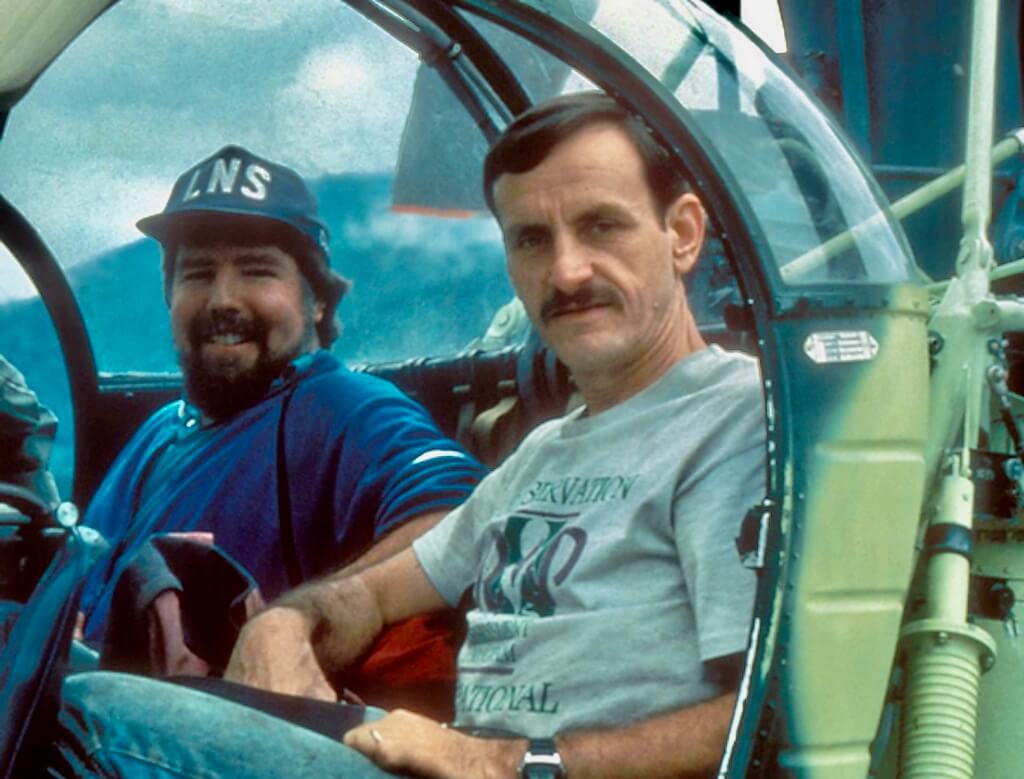
 The Plane Crash
As reported in the New York Times on August 6, 1993, less than one year after the publication of the RAP:
“Two Americans ranked among the world’s leading field biologists were killed on Tuesday when an airplane they were using to make a tree-top survey of the Ecuadorian coast crashed into a cloud-shrouded mountain. They were Theodore A. Parker III, a 40-year-old ornithologist and senior scientist for Conservation International, and Alwyn Gentry, 48, a botanist and senior curator at the Missouri Botanical Garden…”
The fledgling international campaign to conserve the Pacific Forest of Ecuador lost two of its leading voices, suddenly and without warning.
Eating Away at the Forest
Even by 1992, much of the forest on the flanks of the mountain had already suffered degradation and/or deforestation—mostly in the form of “clearings for bananas, coffee, cacao, and cattle” (as stated in the RAP). This was prior to the declaration of Bosque Protector status.
In the years following the accident and the subsequent Bosque Protector declaration, deforestation continued. This was not for lack of effort on the part of FETMU. Without access to international funding sources and without any assistance by local or national government, even the most committed conservation organizations face an uphill battle. FETMU was never allowed enough of a runway to develop alternative revenue sources nor properly develop as an organization, let alone conduct the conservation and restoration activities it desperately wanted to conduct.
“The powers that be” didn’t help the matter. One year after the Bosque Protector was established, a highway was built that cut through the northern part of the forest—effectively slicing it into two sections.
Meanwhile, the relentless momentum of agricultural expansion continued up the mountain from all sides. This was spurred onward by interest-free loans offered to farmers in exchange for converting land—including forest—into coffee plantations.
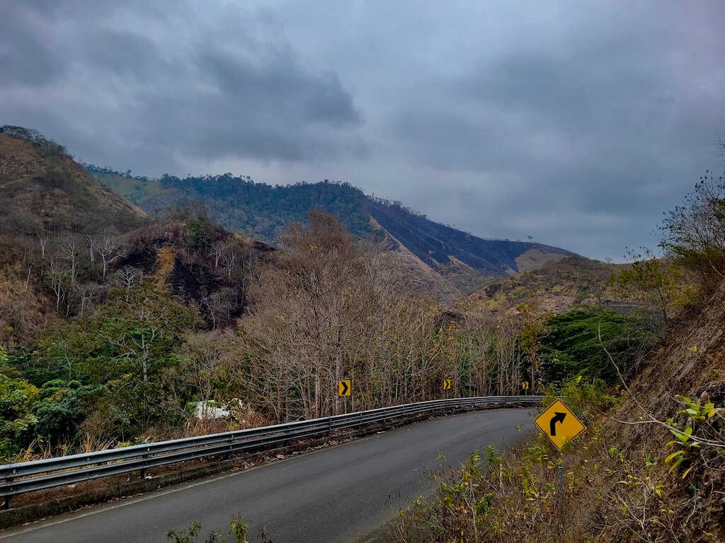
Numerous paved roads now cut through the Bosque Protector, opening the door to more deforestation
There was no way for people to purchase legal titles to land inside the official boundaries of the Bosque Protector, but this didn’t stop people from simply claiming land, cutting it down for coffee, corn, or cattle, and even building homes. Possession rights for these properties were bought and sold and handed down to hereditary descendants.
Although the forest on the flanks of the mountain was getting chewed up, the forest on the mountaintop remained unlogged—thanks, again, to the topography. But the mountaintop wasn’t immune to hunting. And, in one case, a small section was cleared for agriculture. It was only a matter of time until the inevitable march of low-intensity agriculture first degraded and then eventually deforested the old-growth forest at the top of Cerro Pata de Pájaro.
FETMU kept working. Importantly, they purchased the possession rights to 400 hectares (nearly 1,000 acres) at the very peak of the mountaintop—effectively, the heart of the old-growth forest. But they had no resources with which to protect the land, and their personnel was limited to a handful of locals who volunteered their time—including a man named Carlos Robles.
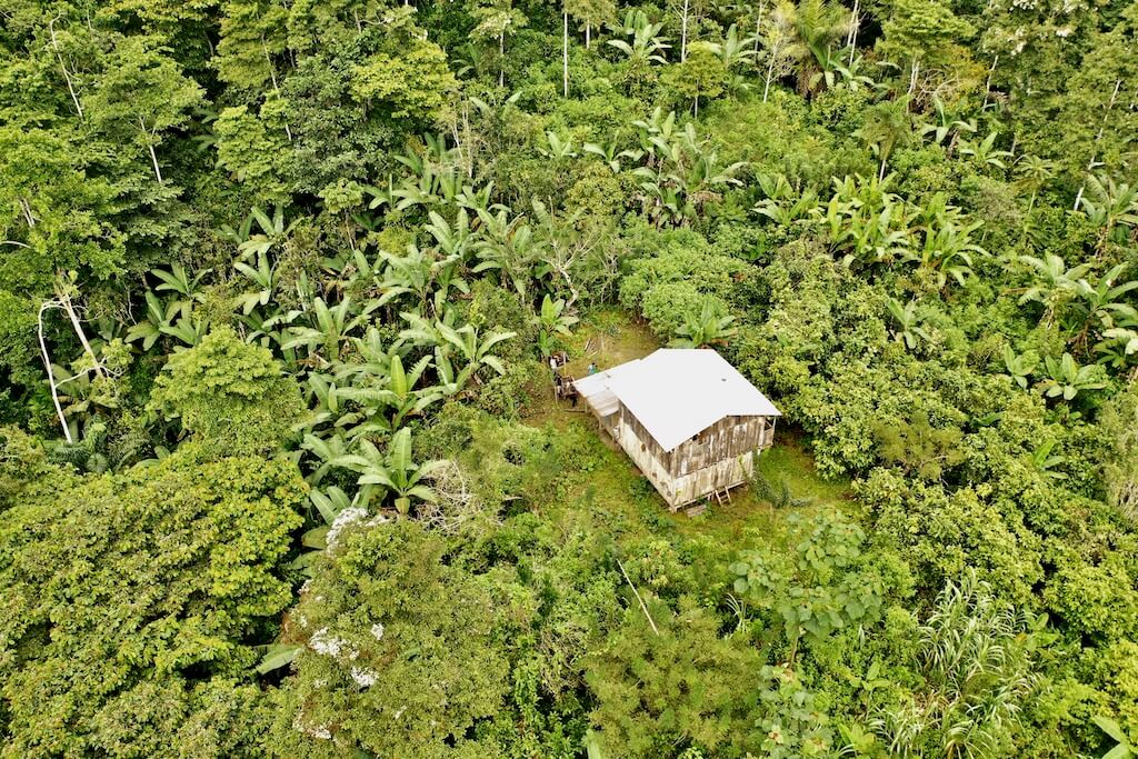
Another homestead within the legal bounds of the Bosque Protector
Meeting Rosario Castillo and Carlos Robles
Shortly after we created the Jama-Coaque Reserve, in 2007, we started hearing stories about this other forest called Cerro Pata de Pájaro. It was located at the northern end of the same mountain range as the Jama-Coaque Reserve—a mere 20 km away but very difficult to access. Occasionally when we came to Pedernales to buy supplies, and the clouds parted to the south, we could see its peaks far in the distance.
We started asking around about it. Most people in town had no information. At one point, someone told us to go into a hardware store called Zurita and ask for the lady who managed it. And so we did. Standing behind the counter was Rosario Castillo (affectionately known as “Charito”). She was an exceptionally kind and sweet older lady who ran the largest hardware store in a roughneck pioneer town.
TMA co-founder Isabel Davila and I—barely a year into our conservation career—told her about the Jama-Coaque Reserve, which protected a mere 110 hectares (270 acres) at that point. She was delighted by the news and warmly welcomed us into the small club of conservationists in a little-known bioregion that we would later call the Capuchin Corridor. That’s when she first told us about FETMU and the Bosque Protector. And then she said, “You need to meet Carlos Robles.”
The following day, we did.
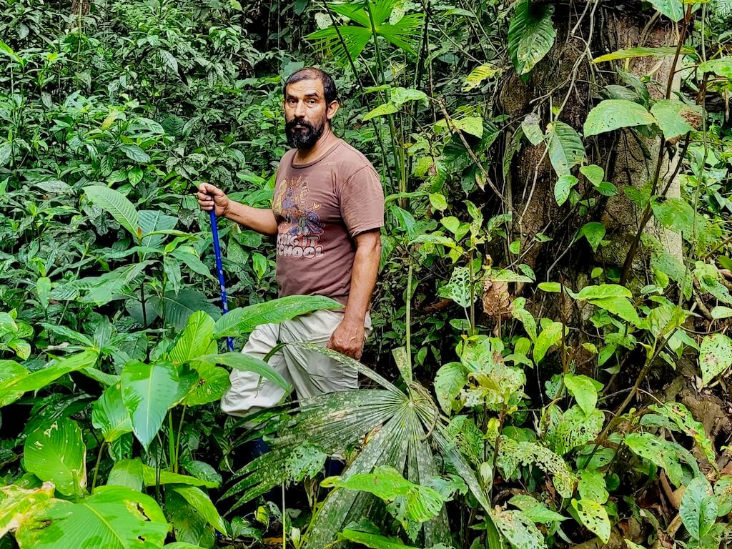
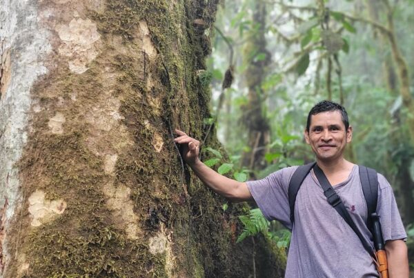
Carlos Robles in the cloud forest (2021)
An utterly singular and charismatic figure, Carlos Robles has an interesting backstory. He was born in Pedernales, raised in the Amazon rainforest, and then returned to Pedernales as a young man. Trained as a hunter, he underwent a quasi-religious conversion to become the most passionate and outspoken conservationist in all of Pedernales. At one point in his career, he was called in to speak in front of the president of Ecuador on the subject of mangrove restoration—and addressed the president by his first name. He’s the kind of guy who other hunters don’t want to mess with. And he absolutely loves plants and snakes.
We immediately hit it off with Carlos. Together we hiked up to the cloud forest at the top of the PDP, and a few weeks later we returned the favor by showing him the cloud forest at the top of the Jama-Coaque Reserve.
That was in 2009.
During the years that followed, we stayed in close touch with both Carlos and Rosario. We wanted to help FETMU as much as we could, but—strapped for cash and short-handed with our own project—there wasn’t too much TMA could do, other than stay in contact.
Carlos visited the Jama-Coaque Reserve numerous times during that span—proving himself to be our most important regional conservation ally. And, with the perpetual construction and repairs to the Bamboo House, we became loyal customers at Zurita. Rosario gave us a friends-and-family discount. Her kind face behind the counter was the nicest part of our visits to Pedernales.
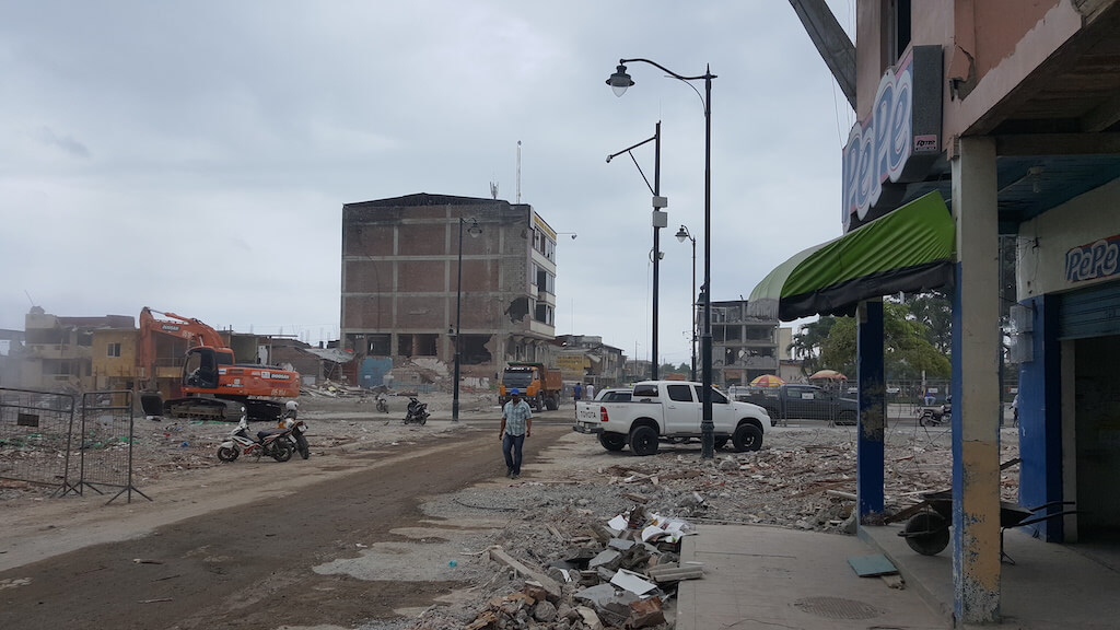
Pedernales a few weeks after a 7.8 magnitude earthquake, 2016
Another Tragedy
On April 16, 2016, a magnitude 7.8 earthquake rocked the coast of Ecuador. It was the worst natural disaster to hit Ecuador since 1947. Pedernales, which was 40 kilometers south of the epicenter, was hit the hardest. According to official statistics, over 16,000 people were injured and 676 people were killed. Among the people who lost their lives was Rosario.
The Dream of the Capuchin Corridor
The dream of building a conservation corridor that connects PDP to the Jama-Coaque Reserve was born on that first day we hiked up into the old-growth cloud forest with Carlos Robles in 2009. But at first, this dream felt like an impossible one. It was something to which we aspired—something to shoot for in the distant future, if ever.
Our attitude, at the time, was: first things first. We knew that we first needed to expand the Jama-Coaque Reserve and strengthen TMA as an organization. Over the next 10+ years, that’s exactly what we did.
The turning point for us came during the pandemic. For a series of related and unrelated reasons, we felt an increasing sense of urgency. As an organization, TMA had also crossed a threshold of maturity. Our team was strong, we had greater access to funding sources, the Jama-Coaque Reserve kept growing, and we had over a decade of experience under belt. We had learned—through many years of trial-and-error—how to efficiently manage forest conservation and restoration projects on an increasingly larger scale.
Meanwhile, forest throughout the rest of the region continued to dwindle. There was a distinct “it’s now or never” feeling about building the region-wide conservation corridor that we first started dreaming about with Carlos Robles a decade earlier.
Luis Madrid and the Birth of FETMU
This is when Luis Madrid re-enters the story. With some interesting parallels to that of Carlos–they both spent their formative years in the Amazon–Luis also has an interesting backstory. He was born in the Andean city of Loja and moved to the Amazon with his family at a young age. As an 11-year-old boy, he remembers shooting rocks with a slingshot at military helicopters, as they hovered low over the Amazon treetops, during the Ecuadorian-Peruvian War of 1981.
As a teenager, his family moved across the country to Pedernales, where his father worked as a land surveyor. Indeed it was his father who first planted the seed of forest conservation inside young Luis’s head. As a land surveyor, his father knew the forest of PDP and saw, first-hand, what was happening to it. He told Luis—a young man just starting out in life—that this rare forest would quickly be lost if nothing was done about it.
Luis took the hint. With his friend Luis Duenas, a U.S. Peace Corps volunteer named Andrew Perleberg, and a few other people, together they created FETMU and quickly established the Bosque Protector.
Shortly thereafter, his lifelong obsession with birds having firmly taken root, Luis decided to go to university and eventually pursue a Ph.D. in ornithology in—of all places—the Central Asian steppe. He spent the next decade and a half of his life in Eurasia.
During that time, Rosario Castillo and Carlos Robles did their best to keep FETMU afloat and the forest of PDP alive.
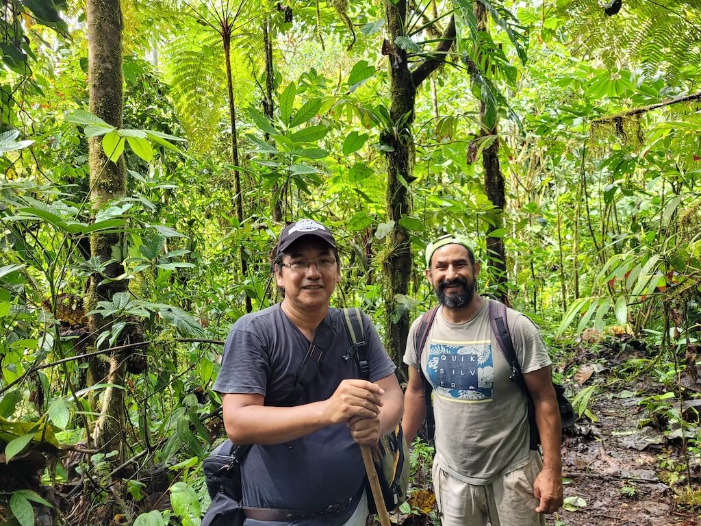
Luis Madrid (left) and Carlos Robles (right) in the cloud forest of PDP (2022)
The Marriage of TMA and FETMU
Shortly after the earthquake of 2016, Luis Madrid returned to Pedernales–this time as a professor at the local university. Rosario had passed away, and Carlos Robles–as passionate as ever about conservation–was busy managing a beachside hotel with his wife and raising their daughter. With an annual budget of zero dollars, and no staff, FETMU’s capacity to manage PDP had reached its lowest point. By 2020, the prized old-growth cloud forest on the mountaintop had been reduced to 400 hectares (nearly 1,000 acres).
TMA, meanwhile, was hitting its stride as a conservation organization–thanks, in large part, to its access to international funding sources. It was time for the dream of a region-wide conservation corridor to become reality.
Beginning in 2020, TMA and FETMU began a series of strategy meetings. Typically they took place at either a ceviche restaurant on the beach in Pedernales or sitting on a log in a cloud forest.
Over time, the two organizations collectively designed a strategy to connect Pata de Pajaro to the Jama-Coaque Reserve via a 43-km conservation corridor named in the honor of the critically endangered Ecuadorian Capuchin Monkey, which is found in both forest preserves and in very few other places anywhere else on earth. TMA also offered to co-manage PDP with FETMU and to provide PDP–for the first time–with the resources and personnel it needed to be a viable forest preserve over the long term.
The collaboration between FETMU and TMA was formalized in October of 2022. Our collective goal: protect the entirety of the old-growth forest in PDP and work with neighboring farmers to guarantee the restoration and protection of all land within the 4,333-hectare boundary that was originally declared a Bosque Protector in 1995. And to connect this forest preserve to the Jama-Coaque Reserve via the Capuchin Corridor.
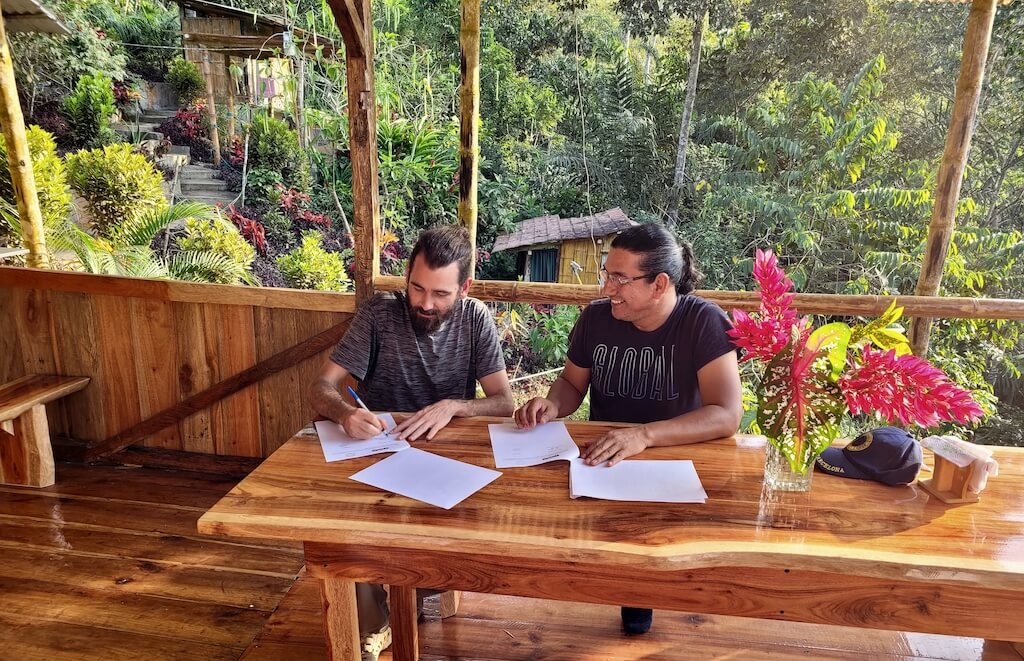
Ryan Lynch, executive director of TMA, and Luis Madrid, executive director of FETMU, formalizing the cooperation agreement in the Bamboo House of the Jama-Coaque Reserve (2022)
Where It Stands Today
FETMU now has a small but growing team of trained professionals who are actively working in PDP, funded by TMA and led by Luis and Carlos. TMA also provides additional personnel, equipment (i.e., camera traps, signs, uniforms), and administrative resources to fill in the gaps. PDP is finally being allocated the resources needed to protect it.
Taking into account all of the Bosque Protector and the projected expansion of the Jama-Coaque Reserve, TMA is working with over 6,000 hectares (15,000 acres) of Pacific Forest. It is characterized by large tracts of intact forest surrounded by patches of deforested or degraded land that we’re reforesting through a combination of assisted natural regeneration and community agroforestry.
But if we’ve learned anything from the past, it is this: in the absence of government support, conservation projects in places like coastal Ecuador only succeed when they are managed by a dedicated team of people that work year-round. This requires financial resources. Creating an endowment fund to manage the Capuchin Corridor is of critical importance for the long-term viability of conservation in this region.
This is just the beginning, and we know there is a long way to go. In any event, we’d like to believe that the late Ted Parker, Alwyn Gentry, and Rosario Castillo would be pleased. And to all of the other conservationists out there—weathered veterans and rising stars alike—we cordially invite you to join the effort. We still need help.
Help Protect The Pacific Forest of Ecuador
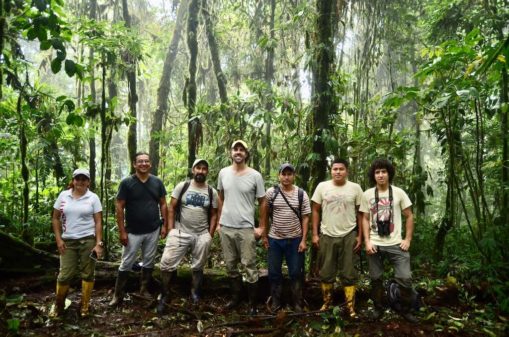
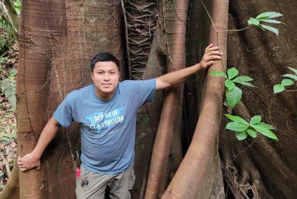
Field teams from FETMU and TMA together at the top of Cerro Pata de Pájaro, June 2022. From left to right: Eliana Mera, Luis Madrid, Carlos Robles, Jerry Toth, Pablo Bermudez, Dany Murillo, and Moises Tenorio.
