Frequent and accurate monitoring of every single reforestation parcel is a central component of our Community Reforestation Program. There are two reasons for this.
- It allows us to measure performance. Payments to farmers are based on the survival and growth rates of the trees they plant.
- It allows our sponsors to verify the legitimacy of this project and also to follow its progress over time. Our commitment to reforestation sponsors is absolute transparency. We also believe that re-growing a forest is an endeavor worth watching, and we want to bring people along for the ride.
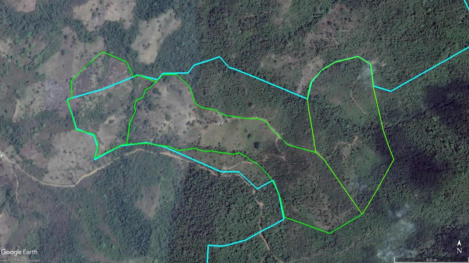
The GIF below is a real-life example of our work. The parcels to the left and toward the bottom of this image were cattle pastures up until 2013, at which time we started planting over 10,000 trees. The GIF covers the six-year period from 2013 to 2018. This is just a taste of what people plus Mother Nature can do. It’s also a good example of how aerial imagery can be used to monitor and verify results.
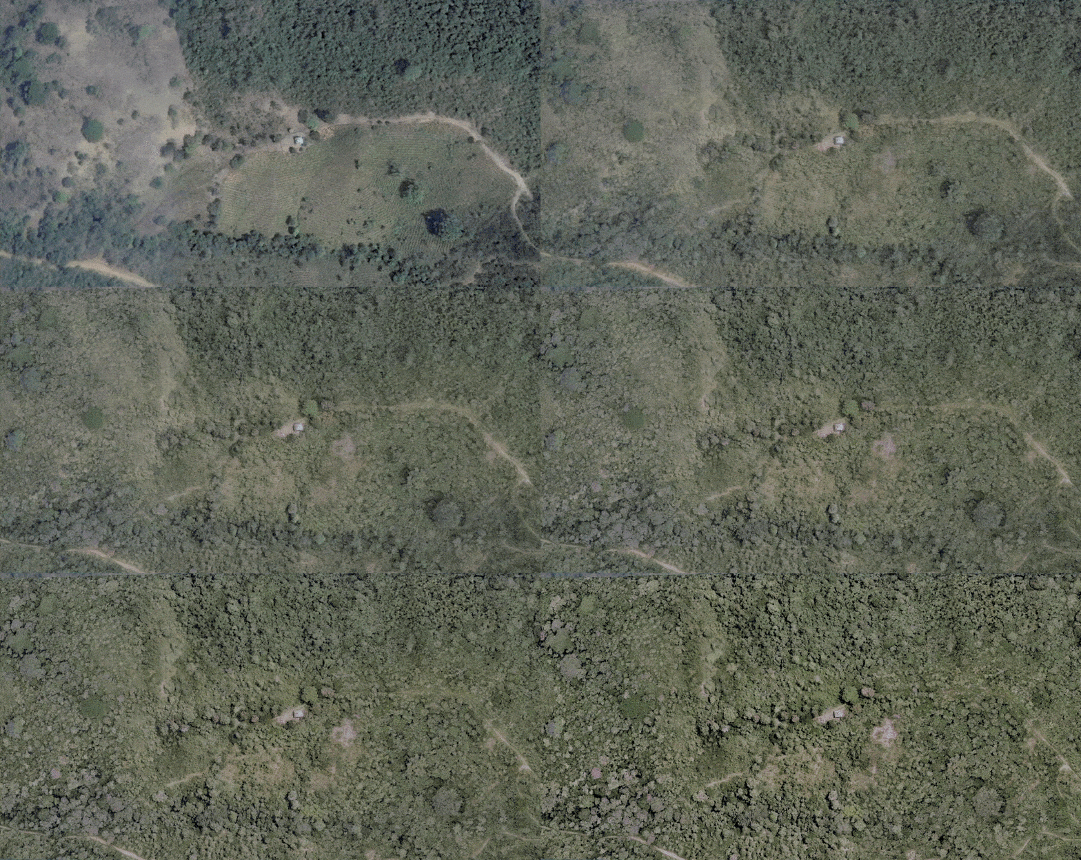
Cattle pasture converted to forest adjacent to the Jama-Coaque Reserve over a six-year period: 2013 – 2018.
The Four Monitoring Methods
We monitor every single reforestation parcel three times per year using four overlapping methods, to ensure that nothing goes unnoticed.
- Boots on the Ground: First and foremost, we are physically present during the actual planting of the trees—indeed, we do a fair amount of the planting ourselves. Once all the trees are in the ground, we manually tabulate every single tree that is planted and add this to our database.
- Digital Tracking: We also use a new digital technology platform called FARM-TRACE to measure and verify our reforestation impact and performance. Here’s how it works: FARM-TRACE independently creates sample plots within each of the reforestation parcels. Our field team visits these plots and enters the diameter and height of every tree in the sample plots into FARM-TRACE’s smartphone application. FARM-TRACE uses this data and runs a series of algorithms to assess how many trees and how much carbon is being stored across the entire parcel. In addition, FARM-TRACE uses a machine-learning algorithm to “truth” this information from satellite imagery. The results are relayed to the program’s desktop interface on our computer in real-time. Reforestation has entered the 21st century!
- Remote Sensing: Separately, we capture and analyze high-resolution satellite images from another service provider at the end of every year and store these images in our archive. We do this for every single parcel.
- Drone Fly-Overs: Last but not least, at the end of every year we take aerial photographs of each parcel using a drone. Again, we analyze and archive these images for every single parcel. We also share these images with the people who sponsored the reforestation of that particular parcel. This is how sponsors can literally watch these forests grow over time.
How We Do It
To learn more about how our Community Reforestation Program works, check out our 2-minute animated video below.
